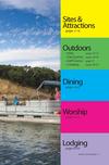
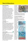
Sites & Attractions
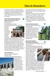
Missouri National Recreational River 10
508 E. 2nd Street
(National Park Service Office)
(605) 665-0209
www.nps.gov/mnrr
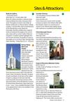
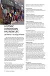
Did you know Yankton
has a National Park?
That’s right, the
Missouri National
Recreational River runs
right along Yankton’s
historic waterfront.
Come discover
beautiful stretches
of the Missouri River
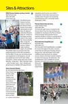
with plenty of outdoor activities, including
miles of trails for hiking, biking, running
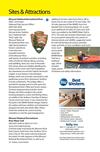
and paddling. Start your visit at Riverside
Park where there are exhibits detailing the
history of the Lewis and Clark Expedition,
the steamboat era and the Dakota Territorial
Capital. A new feature is the Meridian
Bridge, which was recently converted to safe
pedestrian access from downtown Yankton
to trails in Nebraska. The bridge offers a
wonderful vantage point to look upon the
Recreational River’s Wild and Scenic waters.
Summer programming includes Junior
Ranger and other programs for youth;
evening programs, canoe and fishing clinics,
an exhibit at the Yankton Chamber & Visitors
Center and much more. A new attraction for
the park is the MNRR Mobile Ranger Station;
the station will have exhibits and interpretive
programs for kids and adults alike. Please
check the website for current activity
schedules or visit the park headquarters.
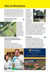
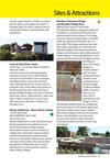
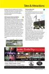
Missouri National Recreational
River Water Trail
(605) 665-0209 or (605) 677-6151
www.mnrrwatertrail.org
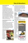
A formal water trail along the Missouri River
from Gavins Point Dam near Yankton, SD to
Sioux City, IA. This water trail encompasses
the entire 59-mile segment of the Missouri
National Recreational River, as well as an
24– Yankton, South Dakota
additional 20 river miles from Ponca, NE to
Sioux City, IA, for a total of 79 river miles. The
39-mile segment of the MNRR, from Fort
Randall Dam to Running Water, SD, as well
as an additional 30 miles of Lewis and Clark
Lake, was added to the MNRR Water Trail in
2013. The web site includes information such
as access points along the river, points of
interest, plants and wildlife, suggested routes
for half and full day excursions, provides
maps and links to river conditions and much
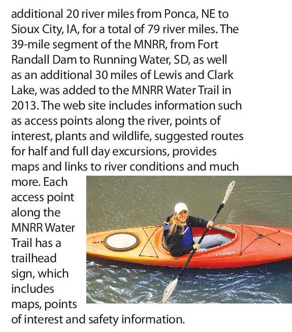
more. Each
access point
along the
MNRR Water
Trail has a
trailhead
sign, which
includes
maps, points
of interest and safety information.


 Previous Page