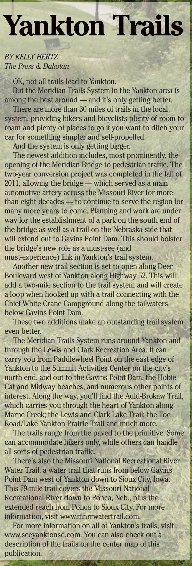
Yankton Trails
BY KELLY HERTZ
The Press & Dakotan
OK, not all trails lead to Yankton.
But the Meridian Trails System in the Yankton area is
among the best around — and it’s only getting better.
There are more than 30 miles of trails in the local
system, providing hikers and bicyclists plenty of room to
roam and plenty of places to go if you want to ditch your
car for something simpler and self-propelled.
And the system is only getting bigger.
The newest addition includes, most prominently, the
opening of the Meridian Bridge to pedestrian traffic. The
two-year conversion project was completed in the fall of
2011, allowing the bridge — which served as a main
automotive artery across the Missouri River for more
than eight decades — to continue to serve the region for
many more years to come. Planning and work are under
way for the establishment of a park on the south end of
the bridge as well as a trail on the Nebraska side that
will extend out to Gavins Point Dam. This should bolster
the bridge’s new role as a must-see (and
must-experience) link in Yankton’s trail system.
Another new trail section is set to open along Deer
Boulevard west of Yankton along Highway 52. This will
add a two-mile section to the trail system and will create
a loop when hooked up with a trail connecting with the
Chief White Crane Campground along the tailwaters
below Gavins Point Dam.
These two additions make an outstanding trail system
even better.
The Meridian Trails System runs around Yankton and
through the Lewis and Clark Recreation Area. It can
carry you from Paddlewheel Point on the east edge of
Yankton to the Summit Activities Center on the city’s
north end, and out to the Gavins Point Dam, the Hobie
Cat and Midway beaches, and numerous other points of
interest. Along the way, you’ll find the Auld-Brokaw Trail,
which carries you through the heart of Yankton along
Marne Creek; the Lewis and Clark Lake Trail; the Toe
Road/Lake Yankton Prairie Trail and much more.
The trails range from the paved to the primitive. Some
can accommodate hikers only, while others can handle
all sorts of pedestrian traffic.
There’s also the Missouri National Recreational River
Water Trail, a water trail that runs from below Gavins
Point Dam west of Yankton down to Sioux City, Iowa.
This 79-mile trail covers the Missouri National
Recreational River down to Ponca, Neb., plus the
extended reach from Ponca to Sioux City. For more
information, visit www.mnrrwatertrail.com.
For more information on all of Yankton’s trails, visit
www.seeyanktonsd.com. You can also check out a
description of the trails on the center map of this
publication.
40 – VISITORS GUIDE • YANKTON, SOUTH DAKOTA
VISITORS GUIDE • YANKTON, SOUTH DAKOTA – 41


 Previous Page